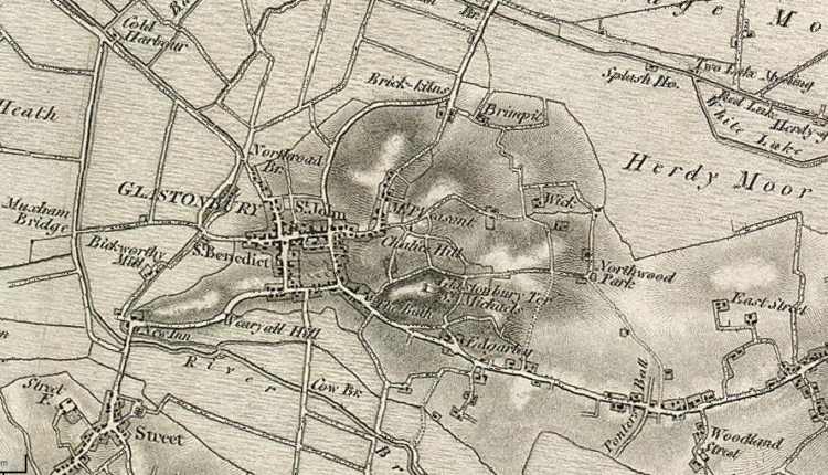
Glastonbury Town Maps
Navigating to/from and around Glastonbury is easy with the help of apps such as Google Maps and what3words, however there are many maps of the town that are worth looking at as they provide additional useful information for visitors.
Here is a selection of Glastonbury town maps to help ensure you make the most of your visit and never get lost!
- Glastonbury Car Parks Map – Mendip District Council Pay and Display
Available online -> here <-
- Glastonbury (and Street) Visitors Guide
Priced at £1.50 (2022) the guide includes a fold-out map of Glastonbury town – available from Glastonbury Information Centre at Dunstans House, Magdalene Street, BA6 9EL ( ![]() absorb.bunk.villa )
absorb.bunk.villa )
Paper copies are available by contacting the author or from Glastonbury Information Centre.
- Yellow Publications – Around & About Glastonbury, Street, Baltonsborough & West Pennard – The Yellow Walk Maps
Waterproof concertina format map based on the OS Explorer series of maps with a scale of 1:16 000 – available online -> here <- or from Glastonbury Information Centre.
Can you recommend any good maps of Glastonbury town?
To book holiday accommodation in the Glastonbury area visit here


